


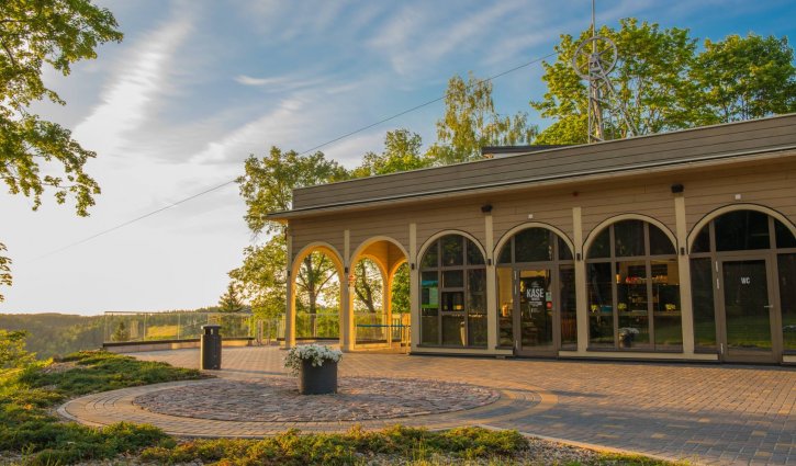


Rāmkalni–Sigulda. Left bank of Gauja
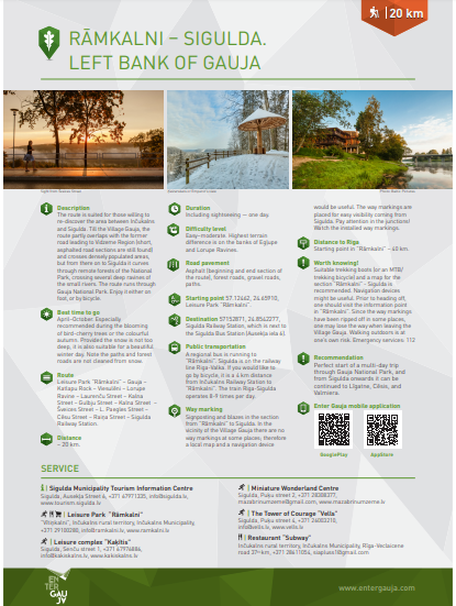
The route is suited for those willing to re-discover the area between Inčukalns and Sigulda.
Till the Village Gauja, the route partly overlaps with the former road leading to Vidzeme Region (short, asphalted road sections are still found) and crosses densely populated areas, but from there on to Sigulda it curves through remote forests of the National Park, crossing several deep ravines of the small rivers. The route runs through Gauja National Park. Enjoy it either on foot, or by bicycle.
Route
Leisure Park “Rāmkalni” – Gauja – Katlapu Rock – Viesulēni – Lorupe Ravine – Laurenču iela – Kalna iela – Gulbju iela – Kalna iela – Šveices iela – L. Paegles iela – Cēsu iela – Raiņa iela – Sigulda Railway Station.
Distance
~20 km
Attachments:
02_ENG_Ramkalni_Sigulda_web.pdf (729.23 KB)
Voting:
Useful links
Conferences and seminars
Guided tours in Sigulda
Medical tourism
Useful information

Cross-country ski track

Events