


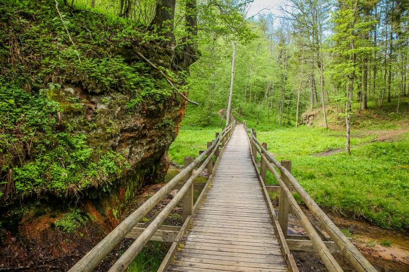
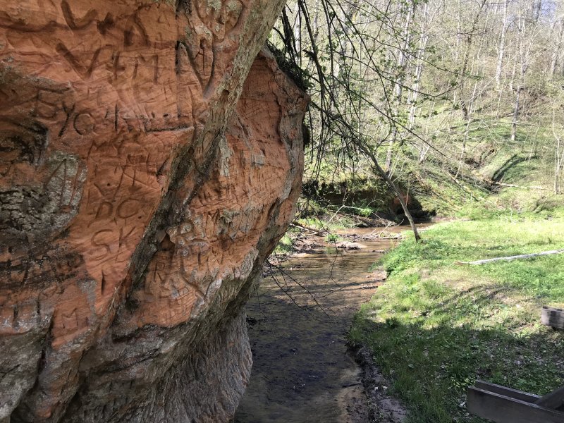
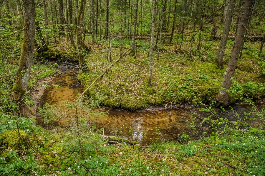
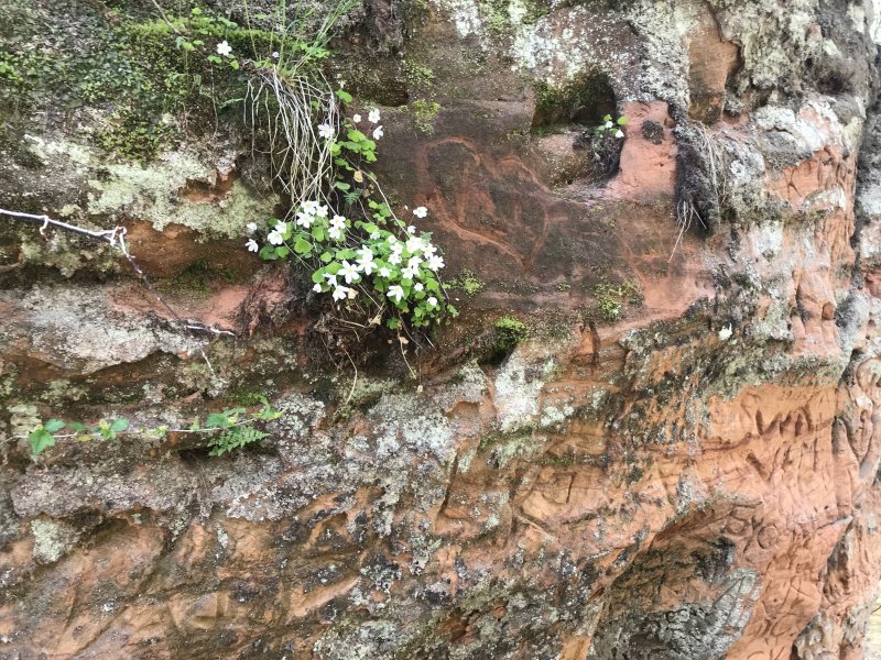
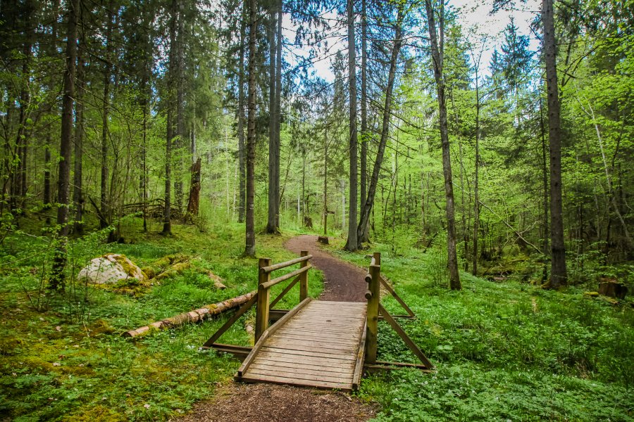
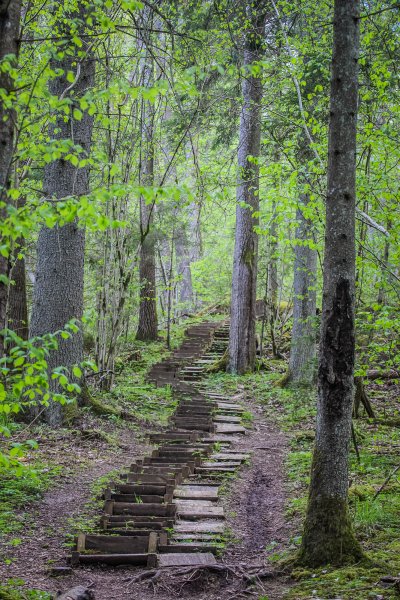
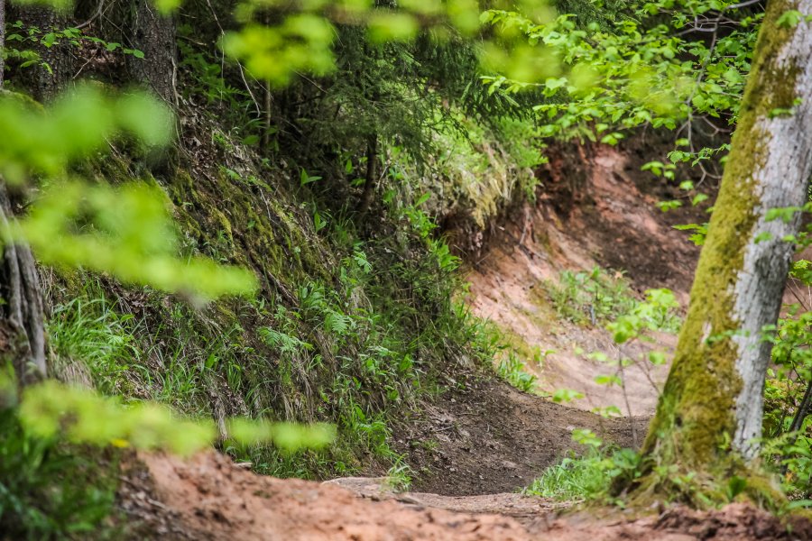
Vikmeste River used to be the natural border between the lands of Turaida and Krimulda. A number of picturesque sandstone rock outcrops can be found in the valley.
| Address | Sigulda |
| Coordinates | 57.1714 24.8376 |
| Phone | +371 67971335 |
| info@sigulda.lv | |
| www | www.tourism.sigulda.lv |
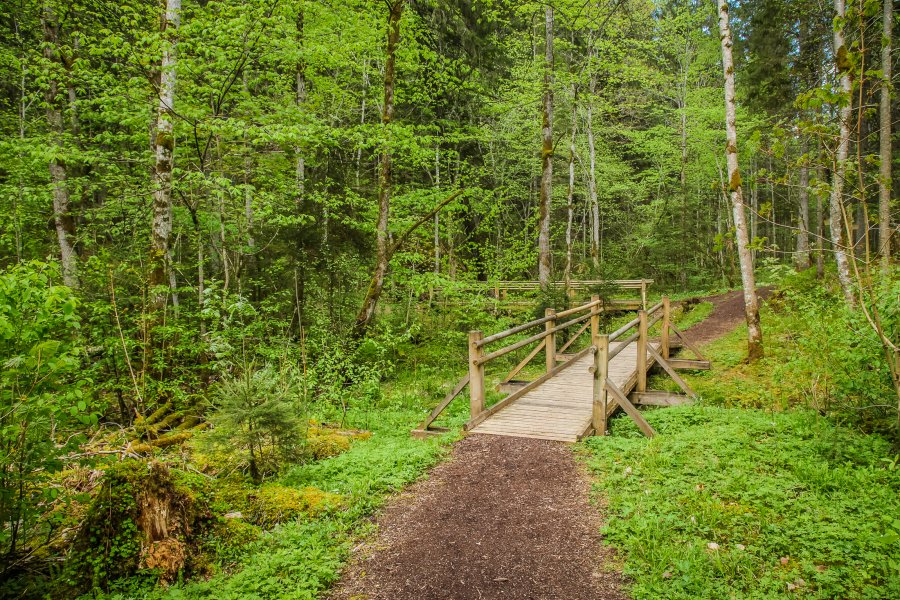
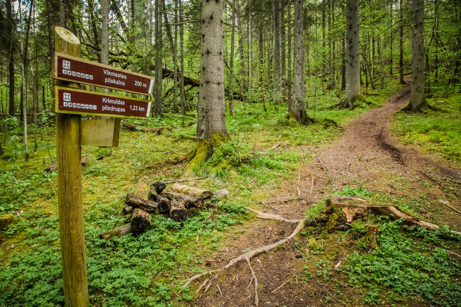
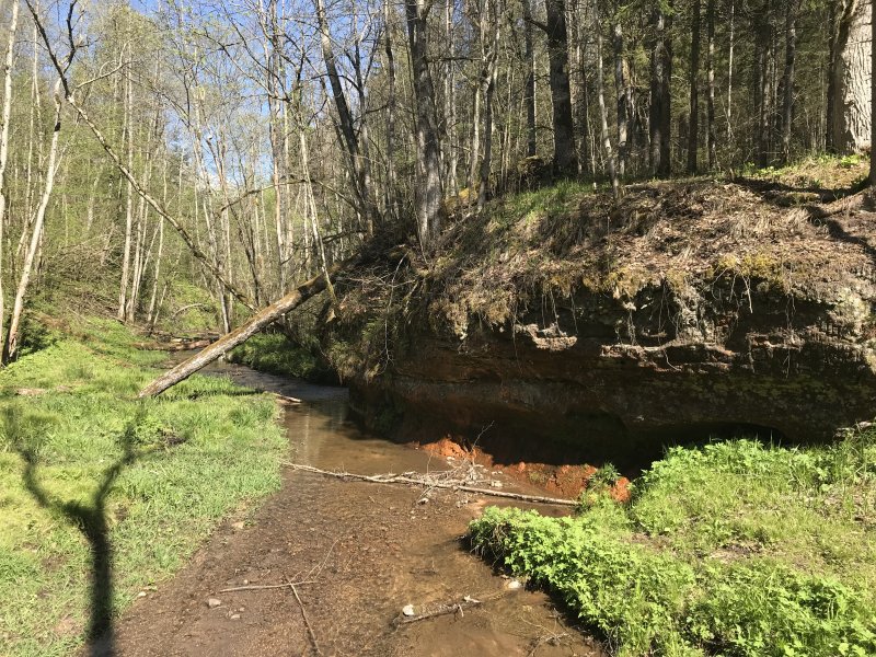
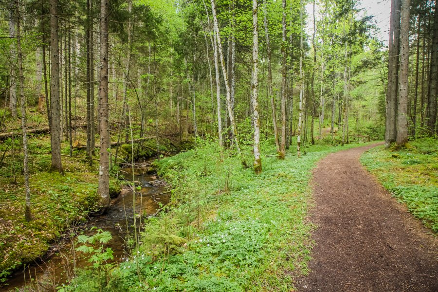
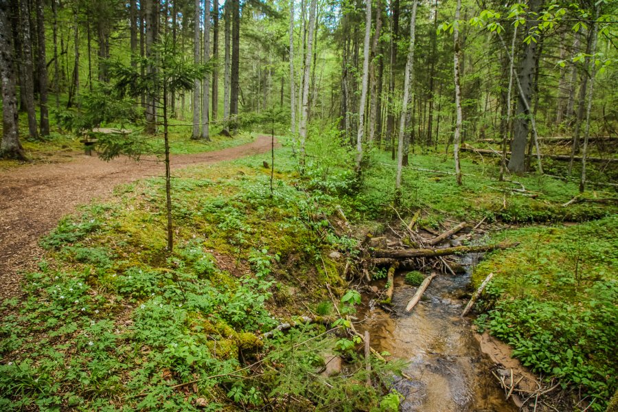
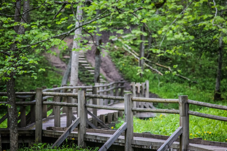
In the past, the Vikmeste river was the natural border of the lands of Turaida and Krimulda. Several picturesque sandstone rock outcrops are hidden in the valley. Approximately 3 km long trail, which starts at the parking lot on the edge of the Turaida-Ragana road, opposite the Reiņa track (Gravzaķi) and leads to the Krimulda serpentine road. The trail is scenic and beautiful, with sandstone outcrops.
You can walk along with it or ride a bike. Vikmeste nature trail, also called the Intact Nature Trail, was created in 1990 by the children of the Gauja National Park staff and a group of young people from the United States, after which they worked together at the Yellowstone National Park in the United States. Ieva Bērziņa, Ilmārs Murāns, Inga Gradauska, Mārcis Mitrevics, Sandis Kalniņš participated in the group.
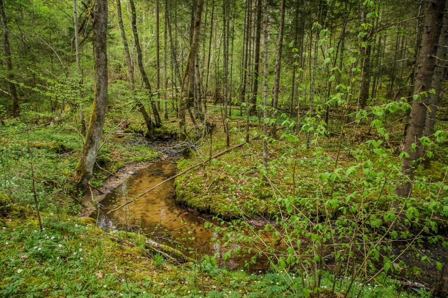
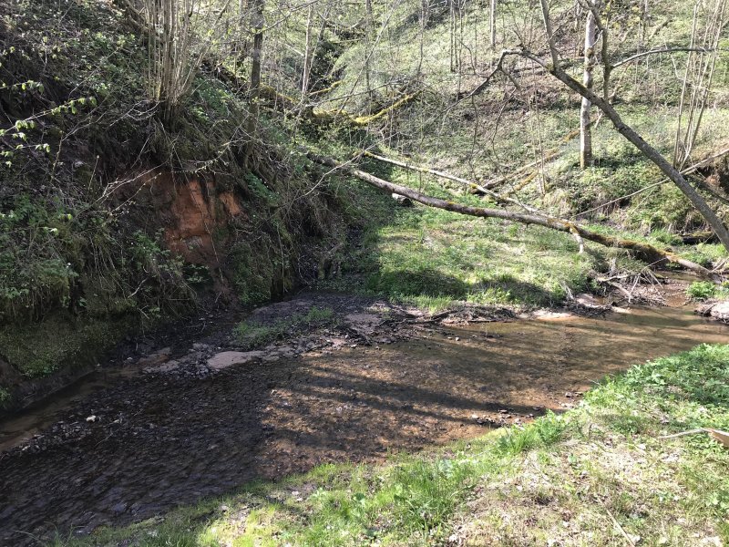
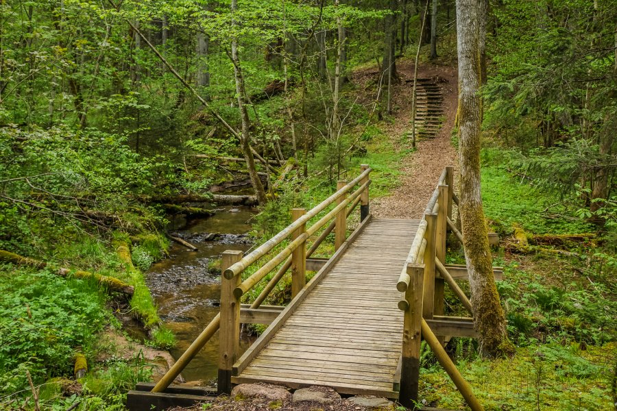
The Gauja National Park, with the help of the Latvian Environmental Fund, demolished concrete water overfalls on the Vikmeste river so that salmon forms could spawn in Vikmeste. The name of Vikmeste comes from the Liv language, possibly - Mežupīte (Forest river). Krimulda castle ruins and Vikmeste castle mound are located on the banks of the Vikmeste river. Vikmeste castle mound is located at the right bank of Vikmeste river, in a side ravine junction, a short kilometer to the Northwest from Krimulda castle mound.
The area of the castle mound is 55 x 75 m, and its sides in three sides are enclosed with about 26 m high and steep cliffs, partially created artificially. The cultural layer is thin and insignificant, it testifies that the castle mound was not inhabited for a long time. On the Western side, there are no steep slopes, 40 m long, 4.5 m wide, and 3 m high dam separates the castle mound from the flat surroundings. 3m deep ditch is situated in front of the dam, the old entrance used to be in the southern part of the dam.
In the direction of East to Vikmeste down, a confined place of castle-front can be found in a 100 x 100 m corner of the land. Now the castle mound is overgrown with forest. In the second half of the 19th century, the castle mound was visited several times by the governor-general of Vidzeme, Suvorovs, and therefore it is sometimes well-known as the Suvorov hill. Some historians think that related to Vikmeste castle mound is the event of 1206 mentioned in the Chronicles of Henry of Livonia, when Kaupo, Turaida Liv ruler, together with Germans killed his war church, plundered and burned the castle. Others believe that there may have been a Kubesele castle place.
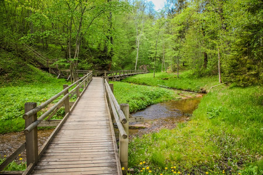
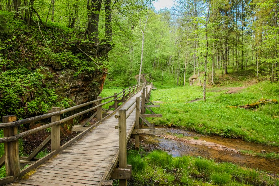
Gallery:
Voting:
Useful links
Conferences and seminars
Guided tours in Sigulda
Medical tourism
Useful information